Railway bridge over White Hart Road
Introduction
The photograph on this page of Railway bridge over White Hart Road by Stephen Craven as part of the Geograph project.
The Geograph project started in 2005 with the aim of publishing, organising and preserving representative images for every square kilometre of Great Britain, Ireland and the Isle of Man.

There are currently over 7.5m images from over 14,400 individuals and you can help contribute to the project by visiting https://www.geograph.org.uk
Railway bridge over White Hart Road
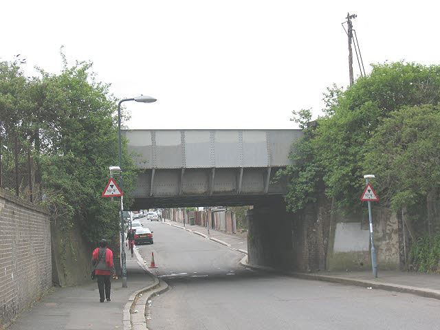
Image: © Stephen Craven Taken: 9 May 2010
This photo is taken from the north side of the bridge, on the part of White Hart Road (an industrial area) which is effectively cut off by the bridge to any vehicle over 10ft 9in high (quite low compared with most railway bridges). The railway is the North Kent Line from London to Dartford via Greenwich.
Images are licensed for reuse under creativecommons.org/licenses/by-sa/2.0
Image Location
Latitude
51.490104
Longitude
0.092049