Old airfield and farm buildings at Christmas corner
Introduction
The photograph on this page of Old airfield and farm buildings at Christmas corner by David Stowell as part of the Geograph project.
The Geograph project started in 2005 with the aim of publishing, organising and preserving representative images for every square kilometre of Great Britain, Ireland and the Isle of Man.

There are currently over 7.5m images from over 14,400 individuals and you can help contribute to the project by visiting https://www.geograph.org.uk
Old airfield and farm buildings at Christmas corner
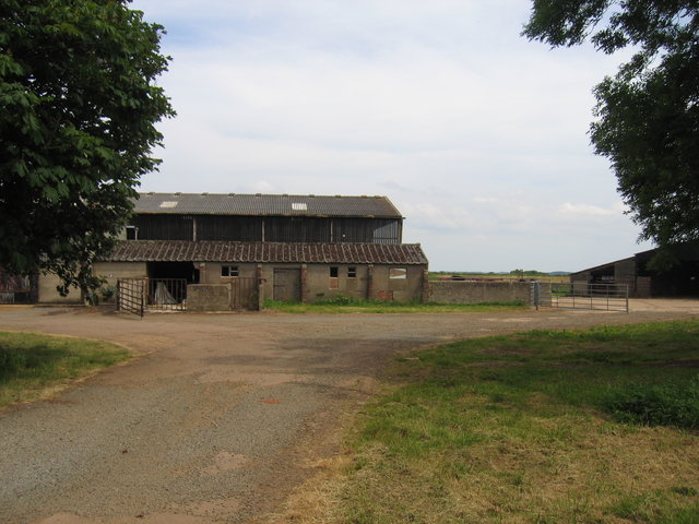
Image: © David Stowell Taken: 11 Jun 2006
The buildings visible from the road a Christmas Corner are a mixture of relatively modern farm buildings and a variety of buildings left over from the former Shenington Airfield.
Images are licensed for reuse under creativecommons.org/licenses/by-sa/2.0
Image Location
Latitude
52.086013
Longitude
-1.481863