Towards Norbury Park
Introduction
The photograph on this page of Towards Norbury Park by Ian Capper as part of the Geograph project.
The Geograph project started in 2005 with the aim of publishing, organising and preserving representative images for every square kilometre of Great Britain, Ireland and the Isle of Man.

There are currently over 7.5m images from over 14,400 individuals and you can help contribute to the project by visiting https://www.geograph.org.uk
Towards Norbury Park
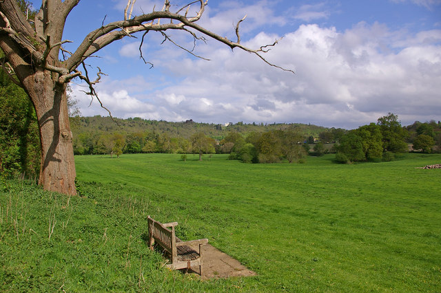
Image: © Ian Capper Taken: 3 May 2010
Looking towards Norbury Park (the white building on the skyline) from near Westhumble. The crescent of trees in the middle distance is a former meander of the River Mole.
Images are licensed for reuse under creativecommons.org/licenses/by-sa/2.0
Image Location
Latitude
51.257545
Longitude
-0.331715