Meeting of the waters, Banton
Introduction
The photograph on this page of Meeting of the waters, Banton by Robert Murray as part of the Geograph project.
The Geograph project started in 2005 with the aim of publishing, organising and preserving representative images for every square kilometre of Great Britain, Ireland and the Isle of Man.

There are currently over 7.5m images from over 14,400 individuals and you can help contribute to the project by visiting https://www.geograph.org.uk
Meeting of the waters, Banton
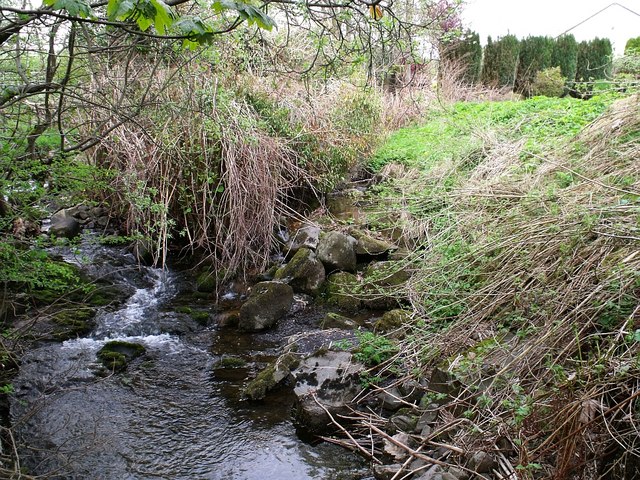
Image: © Robert Murray Taken: 8 May 2010
This wee village certainly is a busy place for burns. Here we see the Banton Burn on the left being joined by - a hard to see - Craigdouffie Burn on the right - which at this point flows through private property.
Images are licensed for reuse under creativecommons.org/licenses/by-sa/2.0
Image Location
Latitude
55.9901
Longitude
-4.008285