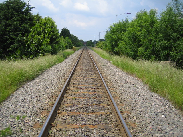
Aylesbury to Princes Risborough railway
Introduction
The photograph on this page of Aylesbury to Princes Risborough railway by Nigel Cox as part of the Geograph project.
The Geograph project started in 2005 with the aim of publishing, organising and preserving representative images for every square kilometre of Great Britain, Ireland and the Isle of Man.
There are currently over 7.5m images from over 14,400 individuals and you can help contribute to the project by visiting https://www.geograph.org.uk

Image: © Nigel Cox Taken: 7 Jun 2006
Viewed looking towards Aylesbury from the Mandeville Road pedestrian crossing, this is the opposite view to Image The 1884 Ordnance Survey map shows how the railway cut through the original road to Stoke Mandeville from Aylesbury at this location and why the diversion route of the current road had to be constructed to the east of the railway, beyond the bushes to the right. This is the site of the long since closed South Aylesbury Halt, as shown on the 1940s Ordnance Survey mapping.

