Covenanters' Cave
Introduction
The photograph on this page of Covenanters' Cave by Darrin Antrobus as part of the Geograph project.
The Geograph project started in 2005 with the aim of publishing, organising and preserving representative images for every square kilometre of Great Britain, Ireland and the Isle of Man.

There are currently over 7.5m images from over 14,400 individuals and you can help contribute to the project by visiting https://www.geograph.org.uk
Covenanters' Cave
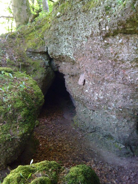
Image: © Darrin Antrobus Taken: 8 May 2010
A little story goes along with this... I'd seen this cave marked on the map, and I've lived in the area for eleven years but I'd never been there... always said to myself that I wanted to take a look but never did... A few weeks ago, I got an email from a woman asking if I had a picture of this Covenanter's Cave near Cargenbridge. Apparently she grew up in the area. I told her I had never been but I'd go take a pic, as I was curious about it anyway. So I go up there today and quite coincidentally there was another Geographer, Walter Baxter, there doing the same thing, arriving just about the same time... the woman had also contacted him about wanting a picture of this cave. It was great to meet Walter, a much more accomplished geographer than I, whose picture will no doubt be a bit better than my iPhone pic.
Images are licensed for reuse under creativecommons.org/licenses/by-sa/2.0
Image Location
Latitude
55.049005
Longitude
-3.631538