The Meerbrook (or Leekfrith) tumulus
Introduction
The photograph on this page of The Meerbrook (or Leekfrith) tumulus by Richard Law as part of the Geograph project.
The Geograph project started in 2005 with the aim of publishing, organising and preserving representative images for every square kilometre of Great Britain, Ireland and the Isle of Man.

There are currently over 7.5m images from over 14,400 individuals and you can help contribute to the project by visiting https://www.geograph.org.uk
The Meerbrook (or Leekfrith) tumulus
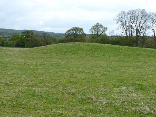
Image: © Richard Law Taken: 7 May 2010
A rather more impressive affair than many further to the east around Buxton. This low-lying tumulus is probably 20 yards across, and even now stands several feet high. It's not clear how it acquires the name Leekfrith, as that place is no longer named on the maps.
Images are licensed for reuse under creativecommons.org/licenses/by-sa/2.0
Image Location
Latitude
53.141649
Longitude
-1.996372