Stonehill Road
Introduction
The photograph on this page of Stonehill Road by Martin Addison as part of the Geograph project.
The Geograph project started in 2005 with the aim of publishing, organising and preserving representative images for every square kilometre of Great Britain, Ireland and the Isle of Man.

There are currently over 7.5m images from over 14,400 individuals and you can help contribute to the project by visiting https://www.geograph.org.uk
Stonehill Road
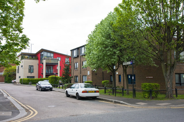
Image: © Martin Addison Taken: 7 May 2010
A small housing estate off Wellesley Road - filling in a vacant space between the M4 slip road and the existing housing on Clarence Road. I love the bold colours on the building by the slip road, which is visible beyond on the extreme left of the photo.
Images are licensed for reuse under creativecommons.org/licenses/by-sa/2.0
Image Location
Latitude
51.490416
Longitude
-0.281312