Houses on Kew Green
Introduction
The photograph on this page of Houses on Kew Green by Martin Addison as part of the Geograph project.
The Geograph project started in 2005 with the aim of publishing, organising and preserving representative images for every square kilometre of Great Britain, Ireland and the Isle of Man.

There are currently over 7.5m images from over 14,400 individuals and you can help contribute to the project by visiting https://www.geograph.org.uk
Houses on Kew Green
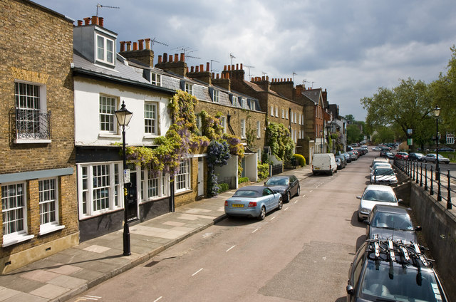
Image: © Martin Addison Taken: 7 May 2010
These houses are located on the northeast side of the green. Multimap suggests that the road is Waterloo place, but the houses have numbers in the Kew Green sequence. The raised road on the right connects with Kew Road.
Images are licensed for reuse under creativecommons.org/licenses/by-sa/2.0
Image Location
Latitude
51.485358
Longitude
-0.285967