Henry Street and Spring Lane junction, Kenilworth
Introduction
The photograph on this page of Henry Street and Spring Lane junction, Kenilworth by John Brightley as part of the Geograph project.
The Geograph project started in 2005 with the aim of publishing, organising and preserving representative images for every square kilometre of Great Britain, Ireland and the Isle of Man.

There are currently over 7.5m images from over 14,400 individuals and you can help contribute to the project by visiting https://www.geograph.org.uk
Henry Street and Spring Lane junction, Kenilworth
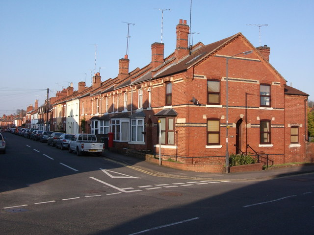
Image: © John Brightley Taken: 16 Apr 2010
The south-eastern, or odd-numbered, side of Henry Street seen from Spring Lane. The house on the corner is number 1 Henry Street. 5 Henry St was formerly a post office, hence the post box in the front garden !
Images are licensed for reuse under creativecommons.org/licenses/by-sa/2.0
Image Location
Latitude
52.347372
Longitude
-1.573354