Former United Methodist Free Church, Bicester
Introduction
The photograph on this page of Former United Methodist Free Church, Bicester by Jim Osley as part of the Geograph project.
The Geograph project started in 2005 with the aim of publishing, organising and preserving representative images for every square kilometre of Great Britain, Ireland and the Isle of Man.

There are currently over 7.5m images from over 14,400 individuals and you can help contribute to the project by visiting https://www.geograph.org.uk
Former United Methodist Free Church, Bicester
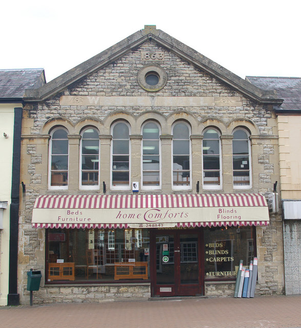
Image: © Jim Osley Taken: 5 May 2010
Built 1863, taken over by the Wesleyans about 40 years later, and renamed Wesley Hall (still just to be made out on the elevation), and currently in use as a home furnishings shop.
Images are licensed for reuse under creativecommons.org/licenses/by-sa/2.0
Image Location
Latitude
51.899062
Longitude
-1.151048