Housing in Thixendale
Introduction
The photograph on this page of Housing in Thixendale by Alan Walker as part of the Geograph project.
The Geograph project started in 2005 with the aim of publishing, organising and preserving representative images for every square kilometre of Great Britain, Ireland and the Isle of Man.

There are currently over 7.5m images from over 14,400 individuals and you can help contribute to the project by visiting https://www.geograph.org.uk
Housing in Thixendale
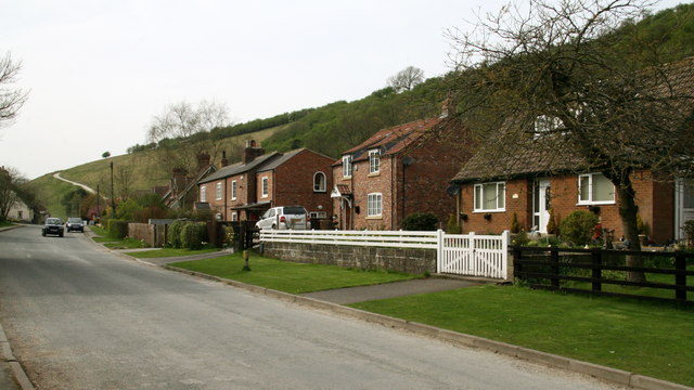
Image: © Alan Walker Taken: 28 Apr 2010
Taken from the roadside near to St. Mary's Churchyard in Thixendale the photograph shows some of the properties below Beamer Hill (in the background). The farm track on the hillside in the left distance carries the Wolds Way long distance footpath. For the first of four photographs looking back at Thixendale from the track, click here http://www.geograph.org.uk/photo/1843373 .
Images are licensed for reuse under creativecommons.org/licenses/by-sa/2.0
Image Location
Latitude
54.038941
Longitude
-0.714825