The drive to Loppington House
Introduction
The photograph on this page of The drive to Loppington House by Eirian Evans as part of the Geograph project.
The Geograph project started in 2005 with the aim of publishing, organising and preserving representative images for every square kilometre of Great Britain, Ireland and the Isle of Man.

There are currently over 7.5m images from over 14,400 individuals and you can help contribute to the project by visiting https://www.geograph.org.uk
The drive to Loppington House
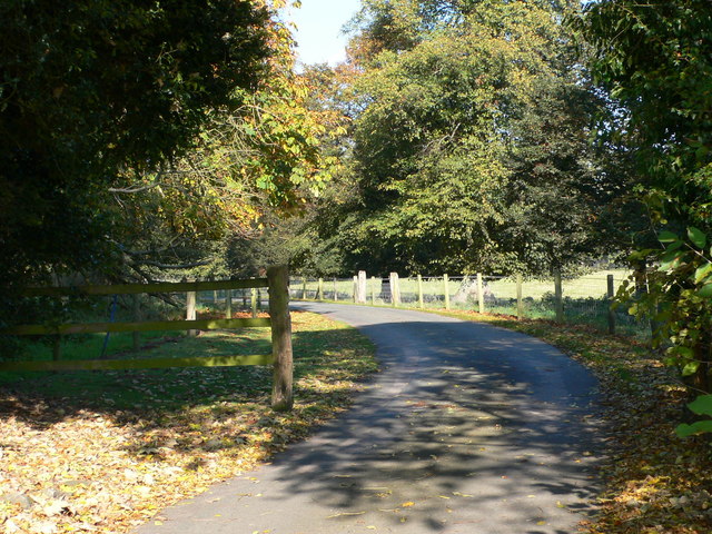
Image: © Eirian Evans Taken: 23 Oct 2007
Loppington House is a Further Education Unit and Adult Centre for young men and women with learning difficulties. North east of Loppington.
Images are licensed for reuse under creativecommons.org/licenses/by-sa/2.0
Image Location
Latitude
52.862106
Longitude
-2.783615