2010 : High Street, Marshfield looking west
Introduction
The photograph on this page of 2010 : High Street, Marshfield looking west by Maurice Pullin as part of the Geograph project.
The Geograph project started in 2005 with the aim of publishing, organising and preserving representative images for every square kilometre of Great Britain, Ireland and the Isle of Man.

There are currently over 7.5m images from over 14,400 individuals and you can help contribute to the project by visiting https://www.geograph.org.uk
2010 : High Street, Marshfield looking west
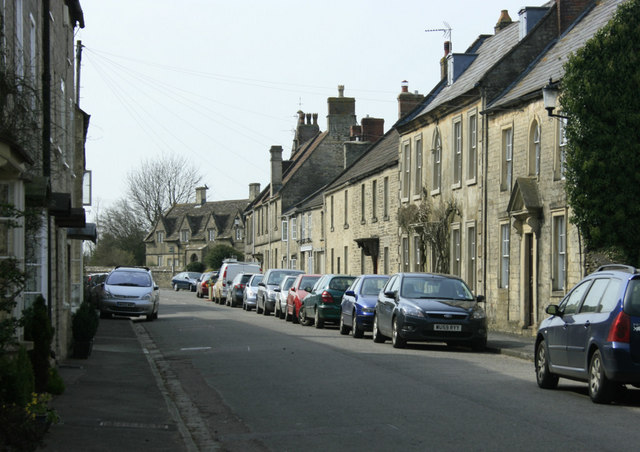
Image: © Maurice Pullin Taken: 10 Apr 2010
Seen from the junction with St.Martin's Lane. Formerly the A420 until Marshfield was relieved by its bypass.
Images are licensed for reuse under creativecommons.org/licenses/by-sa/2.0
Image Location
Latitude
51.46245
Longitude
-2.325839