Wroughton Airfield
Introduction
The photograph on this page of Wroughton Airfield by Martyn Pattison as part of the Geograph project.
The Geograph project started in 2005 with the aim of publishing, organising and preserving representative images for every square kilometre of Great Britain, Ireland and the Isle of Man.

There are currently over 7.5m images from over 14,400 individuals and you can help contribute to the project by visiting https://www.geograph.org.uk
Wroughton Airfield
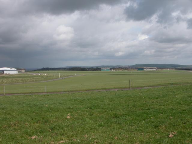
Image: © Martyn Pattison Taken: 7 Apr 2005
Wroughton airfield was an RAF maintenance unit up until 1972. It was a taken over by the Science Museum in 1978 for large object storage, there are many exhibits such as cars, trains, planes, hovercraft etc. The exhibits are occasionally open to the public, for details see http://www.sciencemuseum.org.uk/wroughton/
Images are licensed for reuse under creativecommons.org/licenses/by-sa/2.0
Image Location


Leaflet Map data © OpenStreetMap
Latitude
51.505274
Longitude
-1.806887