Carrot
Introduction
The photograph on this page of Carrot by Trevor Littlewood as part of the Geograph project.
The Geograph project started in 2005 with the aim of publishing, organising and preserving representative images for every square kilometre of Great Britain, Ireland and the Isle of Man.

There are currently over 7.5m images from over 14,400 individuals and you can help contribute to the project by visiting https://www.geograph.org.uk
Carrot
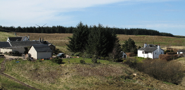
Image: © Trevor Littlewood Taken: 10 Apr 2010
The settlement at Carrot consists of the original farm with several other homes. Forestry lies to the west, south and east of it. A path avoiding the buildings gives access to a forest road by which Corse Hill can be ascended.
Images are licensed for reuse under creativecommons.org/licenses/by-sa/2.0
Image Location
Latitude
55.705778
Longitude
-4.265052