Lower Noak Close
Introduction
The photograph on this page of Lower Noak Close by Glyn Baker as part of the Geograph project.
The Geograph project started in 2005 with the aim of publishing, organising and preserving representative images for every square kilometre of Great Britain, Ireland and the Isle of Man.

There are currently over 7.5m images from over 14,400 individuals and you can help contribute to the project by visiting https://www.geograph.org.uk
Lower Noak Close
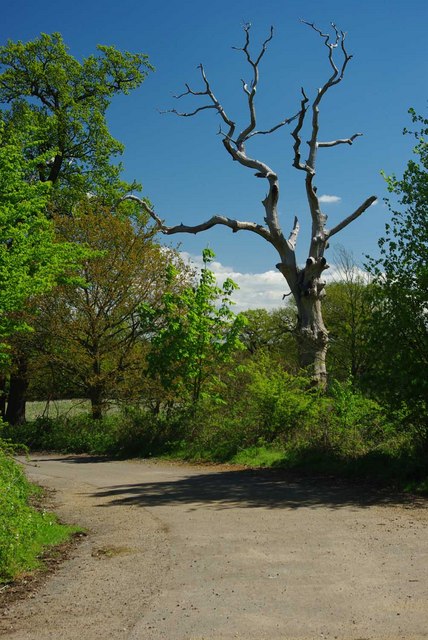
Image: © Glyn Baker Taken: 6 May 2010
This was once a public road but it is now an unclassified track that is blocked off by the M25. The bridleway continues out of shot to the right and continues to Dagnam park.
Images are licensed for reuse under creativecommons.org/licenses/by-sa/2.0
Image Location
Latitude
51.620816
Longitude
0.231111