Polling Station - Wolverhampton North East
Introduction
The photograph on this page of Polling Station - Wolverhampton North East by John M as part of the Geograph project.
The Geograph project started in 2005 with the aim of publishing, organising and preserving representative images for every square kilometre of Great Britain, Ireland and the Isle of Man.

There are currently over 7.5m images from over 14,400 individuals and you can help contribute to the project by visiting https://www.geograph.org.uk
Polling Station - Wolverhampton North East
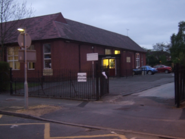
Image: © John M Taken: 6 May 2010
Wodensfelde Primary School plays host to a polling station for the 2010 General Election. The school is in a post war Council Estate many of the houses have been purchased under 'Right to Buy' schemes. The demographic is working class.
Images are licensed for reuse under creativecommons.org/licenses/by-sa/2.0
Image Location
Latitude
52.604501
Longitude
-2.089733