Penton Mewsey - Former Scrubland
Introduction
The photograph on this page of Penton Mewsey - Former Scrubland by Chris Talbot as part of the Geograph project.
The Geograph project started in 2005 with the aim of publishing, organising and preserving representative images for every square kilometre of Great Britain, Ireland and the Isle of Man.

There are currently over 7.5m images from over 14,400 individuals and you can help contribute to the project by visiting https://www.geograph.org.uk
Penton Mewsey - Former Scrubland
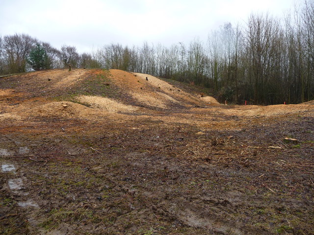
Image: © Chris Talbot Taken: 28 Feb 2010
This area was covered in small trees and bushes until a week ago when the area was stripped and left looking like a first world war battlefield. This area has not been cleared for twenty years or more and shows the shape of the land that has been hidden for many years is now on view.
Images are licensed for reuse under creativecommons.org/licenses/by-sa/2.0
Image Location


Leaflet Map data © OpenStreetMap
Latitude
51.210405
Longitude
-1.516081