Farm road from Palace Farm
Introduction
The photograph on this page of Farm road from Palace Farm by Derek Harper as part of the Geograph project.
The Geograph project started in 2005 with the aim of publishing, organising and preserving representative images for every square kilometre of Great Britain, Ireland and the Isle of Man.

There are currently over 7.5m images from over 14,400 individuals and you can help contribute to the project by visiting https://www.geograph.org.uk
Farm road from Palace Farm
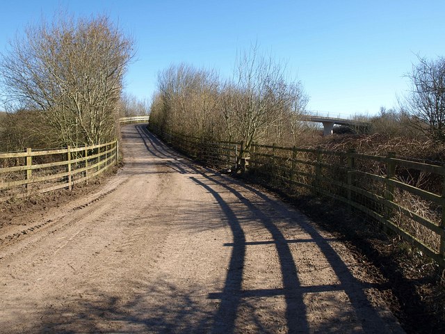
Image: © Derek Harper Taken: 8 Mar 2010
The road climbs to cross the A371 East Somerset Way, which follows a railway line southeast of Wells.
Images are licensed for reuse under creativecommons.org/licenses/by-sa/2.0
Image Location


Leaflet Map data © OpenStreetMap
Latitude
51.202798
Longitude
-2.643906