Gate, Kilroot, Carrickfergus
Introduction
The photograph on this page of Gate, Kilroot, Carrickfergus by Albert Bridge as part of the Geograph project.
The Geograph project started in 2005 with the aim of publishing, organising and preserving representative images for every square kilometre of Great Britain, Ireland and the Isle of Man.

There are currently over 7.5m images from over 14,400 individuals and you can help contribute to the project by visiting https://www.geograph.org.uk
Gate, Kilroot, Carrickfergus
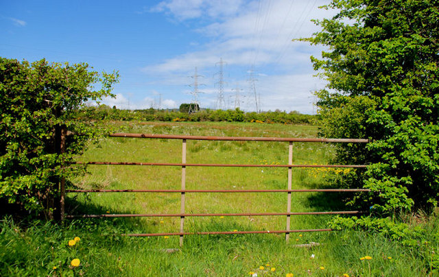
Image: © Albert Bridge Taken: 6 May 2010
A field gate on the Larne Road. The pylons and power lines (seen in Image from a different viewpoint) originate at Kilroot power station Image - behind me.
Images are licensed for reuse under creativecommons.org/licenses/by-sa/2.0
Image Location
Latitude
54.731897
Longitude
-5.767022