The shore at Carrickfergus (1)
Introduction
The photograph on this page of The shore at Carrickfergus (1) by Albert Bridge as part of the Geograph project.
The Geograph project started in 2005 with the aim of publishing, organising and preserving representative images for every square kilometre of Great Britain, Ireland and the Isle of Man.

There are currently over 7.5m images from over 14,400 individuals and you can help contribute to the project by visiting https://www.geograph.org.uk
The shore at Carrickfergus (1)
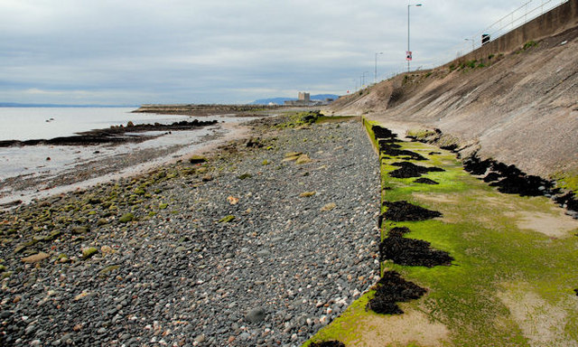
Image: © Albert Bridge Taken: 6 May 2010
The shore at Carrickfergus, looking towards Fisherman’s Quay Image – pebbles inshore and sand near the low water mark. See also Image
Images are licensed for reuse under creativecommons.org/licenses/by-sa/2.0
Image Location
Latitude
54.719628
Longitude
-5.793773