Footpath from Briscwm
Introduction
The photograph on this page of Footpath from Briscwm by Natasha Ceridwen de Chroustchoff as part of the Geograph project.
The Geograph project started in 2005 with the aim of publishing, organising and preserving representative images for every square kilometre of Great Britain, Ireland and the Isle of Man.

There are currently over 7.5m images from over 14,400 individuals and you can help contribute to the project by visiting https://www.geograph.org.uk
Footpath from Briscwm
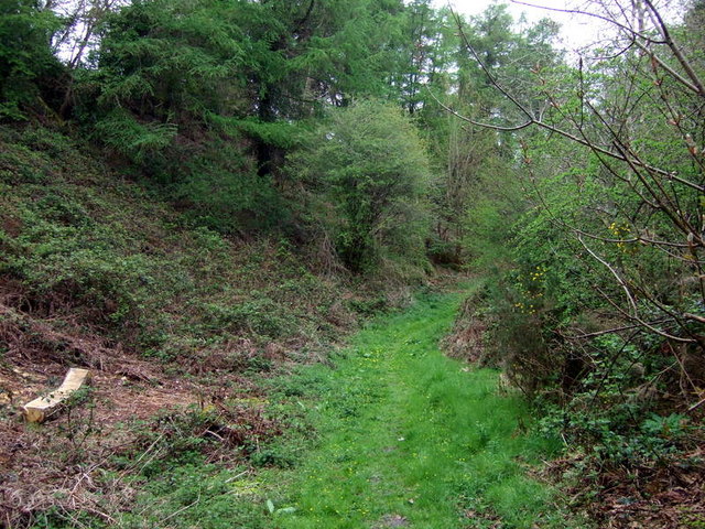
Image: © Natasha Ceridwen de Chroustchoff Taken: 1 May 2010
It leads through this wooded valley and across fields to the lane called Mwtshwr in Llandudoch/St Dogmael's.
Images are licensed for reuse under creativecommons.org/licenses/by-sa/2.0
Image Location
Latitude
52.074872
Longitude
-4.670389