Mock-Tudor flats round a lawn, Monks Drive
Introduction
The photograph on this page of Mock-Tudor flats round a lawn, Monks Drive by David Hawgood as part of the Geograph project.
The Geograph project started in 2005 with the aim of publishing, organising and preserving representative images for every square kilometre of Great Britain, Ireland and the Isle of Man.

There are currently over 7.5m images from over 14,400 individuals and you can help contribute to the project by visiting https://www.geograph.org.uk
Mock-Tudor flats round a lawn, Monks Drive
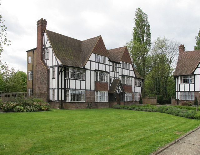
Image: © David Hawgood Taken: 30 Apr 2010
Three blocks of flats (type E in the conservation area appraisal http://www.ealing.gov.uk/ealing3/export/sites/ealingweb/services/environment/planning/planning_services/conservation/_docs/_appraisals/Hanger_Hill_Garden_Estate_CA_Appraisal.pdf ) are set back from the road facing onto a lawn.
Images are licensed for reuse under creativecommons.org/licenses/by-sa/2.0
Image Location
Latitude
51.520125
Longitude
-0.283653