Field at Higher Davidsland
Introduction
The photograph on this page of Field at Higher Davidsland by Derek Harper as part of the Geograph project.
The Geograph project started in 2005 with the aim of publishing, organising and preserving representative images for every square kilometre of Great Britain, Ireland and the Isle of Man.

There are currently over 7.5m images from over 14,400 individuals and you can help contribute to the project by visiting https://www.geograph.org.uk
Field at Higher Davidsland
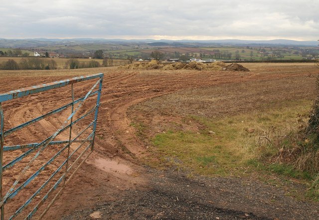
Image: © Derek Harper Taken: 6 Mar 2010
Looking through a gateway on Bewsley Hill, the lane from Elston Cross to Copplestone. Some manure waiting to be distributed. The new housing in the distance, on the east side of the village, is in Image
Images are licensed for reuse under creativecommons.org/licenses/by-sa/2.0
Image Location
Latitude
50.814069
Longitude
-3.735942