Flats in Hanger Vale Lane
Introduction
The photograph on this page of Flats in Hanger Vale Lane by David Hawgood as part of the Geograph project.
The Geograph project started in 2005 with the aim of publishing, organising and preserving representative images for every square kilometre of Great Britain, Ireland and the Isle of Man.

There are currently over 7.5m images from over 14,400 individuals and you can help contribute to the project by visiting https://www.geograph.org.uk
Flats in Hanger Vale Lane
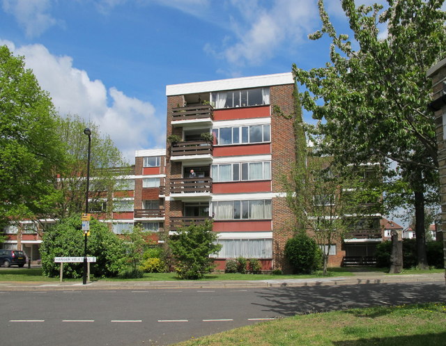
Image: © David Hawgood Taken: 30 Apr 2010
The end of Hanger Vale Lane near the North Circular has blocks of modern flats in pleasantly landscaped grounds.
Images are licensed for reuse under creativecommons.org/licenses/by-sa/2.0
Image Location


Leaflet Map data © OpenStreetMap
Latitude
51.519398
Longitude
-0.289302