Chapel Bridge
Introduction
The photograph on this page of Chapel Bridge by David Anstiss as part of the Geograph project.
The Geograph project started in 2005 with the aim of publishing, organising and preserving representative images for every square kilometre of Great Britain, Ireland and the Isle of Man.

There are currently over 7.5m images from over 14,400 individuals and you can help contribute to the project by visiting https://www.geograph.org.uk
Chapel Bridge
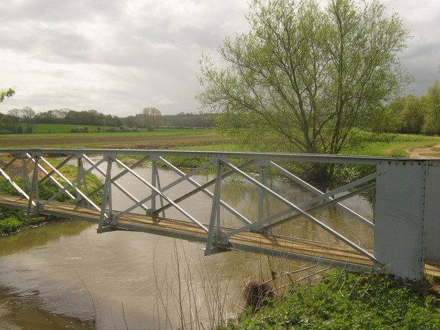
Image: © David Anstiss Taken: 3 May 2010
This bridge is on a footpath from Blackwall Road to the River Great Stour. The path then leads past Conningbrook Manor Lakes (a private fishing lakes). These lake were left after gravel extraction. Nearby is Conningbook Manor. With a manor was a chapel. Hence the name of the bridge.
Images are licensed for reuse under creativecommons.org/licenses/by-sa/2.0
Image Location
Latitude
51.156426
Longitude
0.905852