Beechen Grove, Watford
Introduction
The photograph on this page of Beechen Grove, Watford by Cathy Cox as part of the Geograph project.
The Geograph project started in 2005 with the aim of publishing, organising and preserving representative images for every square kilometre of Great Britain, Ireland and the Isle of Man.

There are currently over 7.5m images from over 14,400 individuals and you can help contribute to the project by visiting https://www.geograph.org.uk
Beechen Grove, Watford
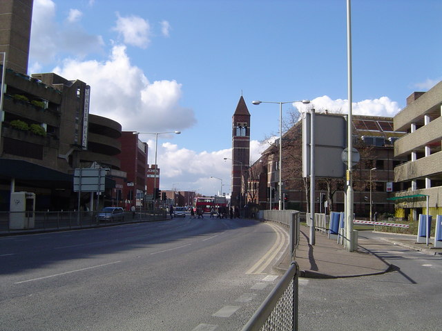
Image: © Cathy Cox Taken: 1 Mar 2006
Looking the 'wrong way' round the ring road towards Beechen Grove Baptist Church with Charter Place car park on the left.
Images are licensed for reuse under creativecommons.org/licenses/by-sa/2.0
Image Location


Leaflet Map data © OpenStreetMap
Latitude
51.657236
Longitude
-0.396739