Footpath to Broadwell
Introduction
The photograph on this page of Footpath to Broadwell by Michael Dibb as part of the Geograph project.
The Geograph project started in 2005 with the aim of publishing, organising and preserving representative images for every square kilometre of Great Britain, Ireland and the Isle of Man.

There are currently over 7.5m images from over 14,400 individuals and you can help contribute to the project by visiting https://www.geograph.org.uk
Footpath to Broadwell
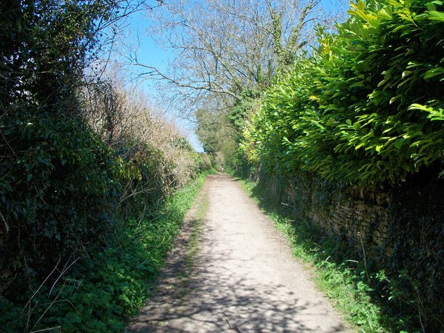
Image: © Michael Dibb Taken: 21 Apr 2010
The footpath, part of the Monarch's Way, branches off the minor road at Top Lodge. The lodge is behind the hedge to the right of the path.
Images are licensed for reuse under creativecommons.org/licenses/by-sa/2.0
Image Location
Latitude
51.934595
Longitude
-1.715164