Road to the wells
Introduction
The photograph on this page of Road to the wells by Michael Dibb as part of the Geograph project.
The Geograph project started in 2005 with the aim of publishing, organising and preserving representative images for every square kilometre of Great Britain, Ireland and the Isle of Man.

There are currently over 7.5m images from over 14,400 individuals and you can help contribute to the project by visiting https://www.geograph.org.uk
Road to the wells
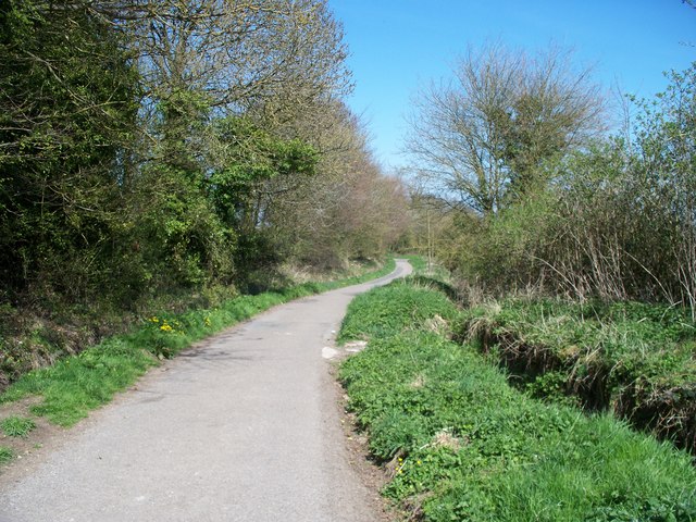
Image: © Michael Dibb Taken: 21 Apr 2010
This minor road leaves Well Lane in Stow-on-the-Wold and leads past Stow Wells before becoming a private driveway. The road forms part of the Monarch's Way long distance path. Beyond the wells, the path branches off to the left and heads for Broadwell.
Images are licensed for reuse under creativecommons.org/licenses/by-sa/2.0
Image Location


Leaflet Map data © OpenStreetMap
Latitude
51.932897
Longitude
-1.719683