Fields close to Witherington Farm.
Introduction
The photograph on this page of Fields close to Witherington Farm. by Stuart Buchan as part of the Geograph project.
The Geograph project started in 2005 with the aim of publishing, organising and preserving representative images for every square kilometre of Great Britain, Ireland and the Isle of Man.

There are currently over 7.5m images from over 14,400 individuals and you can help contribute to the project by visiting https://www.geograph.org.uk
Fields close to Witherington Farm.
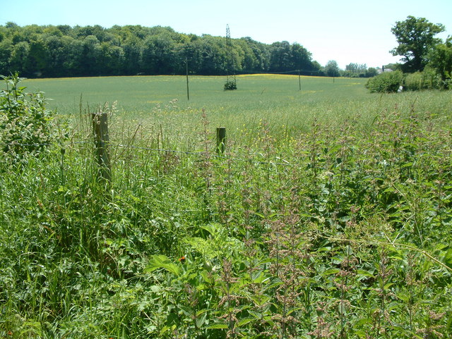
Image: © Stuart Buchan Taken: 9 Jun 2006
These fields are located about one mile south of Alderbury.
Images are licensed for reuse under creativecommons.org/licenses/by-sa/2.0
Image Location


Leaflet Map data © OpenStreetMap
Latitude
51.02678
Longitude
-1.740436