Canford Heath
Introduction
The photograph on this page of Canford Heath by Derek Harper as part of the Geograph project.
The Geograph project started in 2005 with the aim of publishing, organising and preserving representative images for every square kilometre of Great Britain, Ireland and the Isle of Man.

There are currently over 7.5m images from over 14,400 individuals and you can help contribute to the project by visiting https://www.geograph.org.uk
Canford Heath
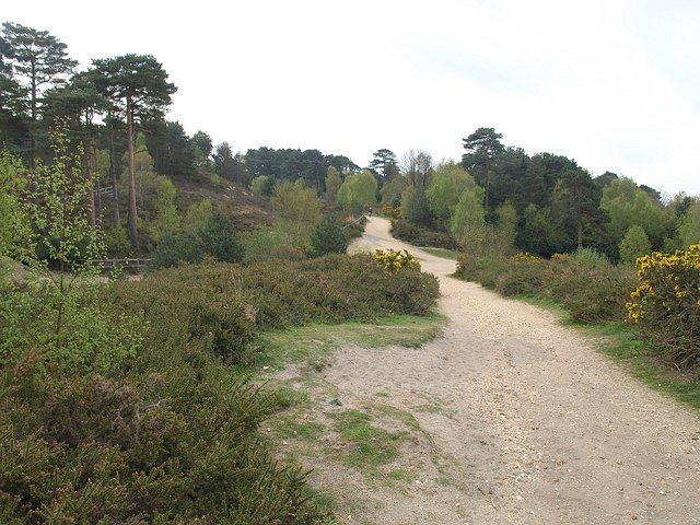
Image: © Derek Harper Taken: 28 Apr 2010
This southwest corner of the heath, which is the fourth largest heathland in Dorset, is under considerable pressure from neighbouring housing estates. This track, here approaching a crossing with Longfleet Drive, seems to be gradually widening.
Images are licensed for reuse under creativecommons.org/licenses/by-sa/2.0
Image Location
Latitude
50.759091
Longitude
-1.973011