Gosford Green
Introduction
The photograph on this page of Gosford Green by Kevin Croucher as part of the Geograph project.
The Geograph project started in 2005 with the aim of publishing, organising and preserving representative images for every square kilometre of Great Britain, Ireland and the Isle of Man.

There are currently over 7.5m images from over 14,400 individuals and you can help contribute to the project by visiting https://www.geograph.org.uk
Gosford Green
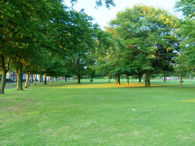
Image: © Kevin Croucher Taken: 13 Jun 2005
At the Junction of Walsgrave and Binley Roads. In 1940 90 people were killed when a bomb hit an air raid shelter here.
Images are licensed for reuse under creativecommons.org/licenses/by-sa/2.0
Image Location


Leaflet Map data © OpenStreetMap
Latitude
52.40881
Longitude
-1.491321