Waterhead Brook downstream at Monarch's Way
Introduction
The photograph on this page of Waterhead Brook downstream at Monarch's Way by John M as part of the Geograph project.
The Geograph project started in 2005 with the aim of publishing, organising and preserving representative images for every square kilometre of Great Britain, Ireland and the Isle of Man.

There are currently over 7.5m images from over 14,400 individuals and you can help contribute to the project by visiting https://www.geograph.org.uk
Waterhead Brook downstream at Monarch's Way
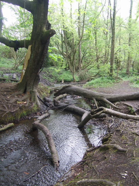
Image: © John M Taken: 3 May 2010
The tree next to the brook has not escaped the attention of the local hooligans. The centre of the trunk has been set alight and burnt out to a height of around 15 feet.
Images are licensed for reuse under creativecommons.org/licenses/by-sa/2.0
Image Location
Latitude
52.631456
Longitude
-2.106632