Kimberley Park, Newport
Introduction
The photograph on this page of Kimberley Park, Newport by Jaggery as part of the Geograph project.
The Geograph project started in 2005 with the aim of publishing, organising and preserving representative images for every square kilometre of Great Britain, Ireland and the Isle of Man.

There are currently over 7.5m images from over 14,400 individuals and you can help contribute to the project by visiting https://www.geograph.org.uk
Kimberley Park, Newport
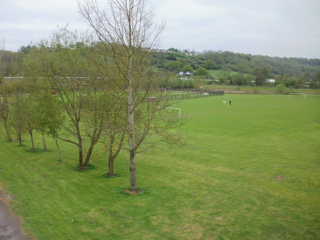
Image: © Jaggery Taken: 2 May 2010
Viewed from the footbridge http://www.geograph.org.uk/photo/1499965 across Malpas Road. Kimberley Park (formerly known as Crindau Park) occupies land at the foot of Malpas hill bordered by Malpas Road, the M4 motorway, the former Monmouthshire & Brecon Canal, and Blaen-y-Pant Crescent. The park contains the home pitch http://www.geograph.org.uk/photo/1722176 and pavilion http://www.geograph.org.uk/photo/1722298 of Albion Rovers football club.
Images are licensed for reuse under creativecommons.org/licenses/by-sa/2.0
Image Location
Latitude
51.600897
Longitude
-3.009184