Southwest of Wichling pumping station
Introduction
The photograph on this page of Southwest of Wichling pumping station by Penny Mayes as part of the Geograph project.
The Geograph project started in 2005 with the aim of publishing, organising and preserving representative images for every square kilometre of Great Britain, Ireland and the Isle of Man.

There are currently over 7.5m images from over 14,400 individuals and you can help contribute to the project by visiting https://www.geograph.org.uk
Southwest of Wichling pumping station
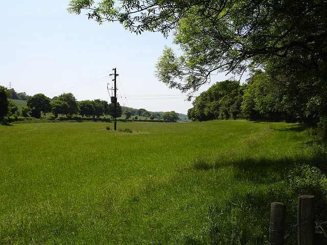
Image: © Penny Mayes Taken: 8 Jun 2006
This meadow lies between Endings Wood and the road along the broad flat bottom of the valley.
Images are licensed for reuse under creativecommons.org/licenses/by-sa/2.0
Image Location
Latitude
51.27702
Longitude
0.754284