Stanyards Farm Road End
Introduction
The photograph on this page of Stanyards Farm Road End by Colin Smith as part of the Geograph project.
The Geograph project started in 2005 with the aim of publishing, organising and preserving representative images for every square kilometre of Great Britain, Ireland and the Isle of Man.

There are currently over 7.5m images from over 14,400 individuals and you can help contribute to the project by visiting https://www.geograph.org.uk
Stanyards Farm Road End
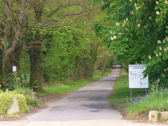
Image: © Colin Smith Taken: 1 May 2010
Private road at Fairoaks, doubling as a bridleway, and also leading to a few commercial concerns sited off the lane.
Images are licensed for reuse under creativecommons.org/licenses/by-sa/2.0
Image Location
Latitude
51.35214
Longitude
-0.563944