RAF Swinderby
Introduction
The photograph on this page of RAF Swinderby by Richard Croft as part of the Geograph project.
The Geograph project started in 2005 with the aim of publishing, organising and preserving representative images for every square kilometre of Great Britain, Ireland and the Isle of Man.

There are currently over 7.5m images from over 14,400 individuals and you can help contribute to the project by visiting https://www.geograph.org.uk
RAF Swinderby
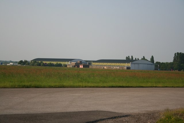
Image: © Richard Croft Taken: 9 Jun 2006
Former hangars at RAF Swinderby, now used as light industrial units and storage
Images are licensed for reuse under creativecommons.org/licenses/by-sa/2.0
Image Location


Leaflet Map data © OpenStreetMap
Latitude
53.146852
Longitude
-0.673758