Plas Tirion, Llanrwst
Introduction
The photograph on this page of Plas Tirion, Llanrwst by Eirian Evans as part of the Geograph project.
The Geograph project started in 2005 with the aim of publishing, organising and preserving representative images for every square kilometre of Great Britain, Ireland and the Isle of Man.

There are currently over 7.5m images from over 14,400 individuals and you can help contribute to the project by visiting https://www.geograph.org.uk
Plas Tirion, Llanrwst
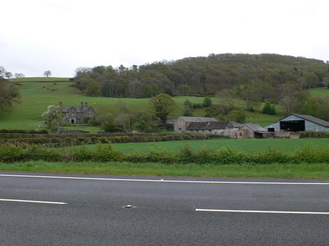
Image: © Eirian Evans Taken: 30 Apr 2010
Plas Tirion, near Llanrwst, is a 16th century two-storey house, originally constructed of rubble with slate roofs and tall stone chimney stacks. The house was built to an F-plan with a projecting three-storey crosswing at the right of a two-storey main block. It features a three-storey gabled porch with segmental arch and original oak studded floor.
Images are licensed for reuse under creativecommons.org/licenses/by-sa/2.0
Image Location
Latitude
53.11622
Longitude
-3.778859