(The remains of) Triermain Castle
Introduction
The photograph on this page of (The remains of) Triermain Castle by Mike Quinn as part of the Geograph project.
The Geograph project started in 2005 with the aim of publishing, organising and preserving representative images for every square kilometre of Great Britain, Ireland and the Isle of Man.

There are currently over 7.5m images from over 14,400 individuals and you can help contribute to the project by visiting https://www.geograph.org.uk
(The remains of) Triermain Castle
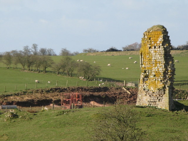
Image: © Mike Quinn Taken: 20 Apr 2010
The castle was built around 1340, using stone from Hadrian's Wall - see http://www.visitcumbria.com/car/triermain.htm.
Images are licensed for reuse under creativecommons.org/licenses/by-sa/2.0
Image Location


Leaflet Map data © OpenStreetMap
Latitude
54.994123
Longitude
-2.634862