Crockenhill crossroads
Introduction
The photograph on this page of Crockenhill crossroads by Ian Capper as part of the Geograph project.
The Geograph project started in 2005 with the aim of publishing, organising and preserving representative images for every square kilometre of Great Britain, Ireland and the Isle of Man.

There are currently over 7.5m images from over 14,400 individuals and you can help contribute to the project by visiting https://www.geograph.org.uk
Crockenhill crossroads
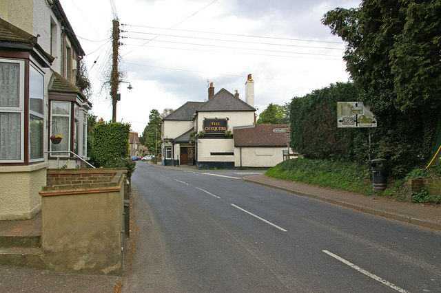
Image: © Ian Capper Taken: 26 Apr 2010
Approaching the crossroads in the middle of Crockenhill, with the Chequers pub in the centre. For close up of the pre-Worboys road sign on the right, see Image
Images are licensed for reuse under creativecommons.org/licenses/by-sa/2.0
Image Location
Latitude
51.383214
Longitude
0.160466