Hertfordshire County Council buildings
Introduction
The photograph on this page of Hertfordshire County Council buildings by M J Richardson as part of the Geograph project.
The Geograph project started in 2005 with the aim of publishing, organising and preserving representative images for every square kilometre of Great Britain, Ireland and the Isle of Man.

There are currently over 7.5m images from over 14,400 individuals and you can help contribute to the project by visiting https://www.geograph.org.uk
Hertfordshire County Council buildings
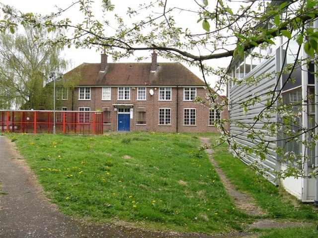
Image: © M J Richardson Taken: 26 Apr 2010
A sign indicates the ownership, and 'keep out'. The map indicates that it is a college - not clear whether the buildings are still in use.
Images are licensed for reuse under creativecommons.org/licenses/by-sa/2.0
Image Location
Latitude
51.681695
Longitude
-0.410051