St. Albans Road (B651)
Introduction
The photograph on this page of St. Albans Road (B651) by Martin Addison as part of the Geograph project.
The Geograph project started in 2005 with the aim of publishing, organising and preserving representative images for every square kilometre of Great Britain, Ireland and the Isle of Man.

There are currently over 7.5m images from over 14,400 individuals and you can help contribute to the project by visiting https://www.geograph.org.uk
St. Albans Road (B651)
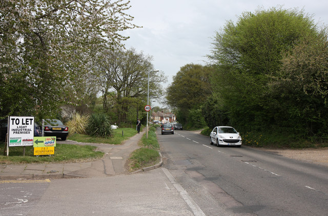
Image: © Martin Addison Taken: 29 Apr 2010
Looking down the hill from adjacent to the entrance to one of the industrial estates on the outskirts of St. Albans. This is in the Marshalswick area and the houses at the bottom of the hill are the last before the road enters the village of Sandridge.
Images are licensed for reuse under creativecommons.org/licenses/by-sa/2.0
Image Location
Latitude
51.770966
Longitude
-0.318215