St. Pancras Bound
Introduction
The photograph on this page of St. Pancras Bound by Martin Addison as part of the Geograph project.
The Geograph project started in 2005 with the aim of publishing, organising and preserving representative images for every square kilometre of Great Britain, Ireland and the Isle of Man.

There are currently over 7.5m images from over 14,400 individuals and you can help contribute to the project by visiting https://www.geograph.org.uk
St. Pancras Bound
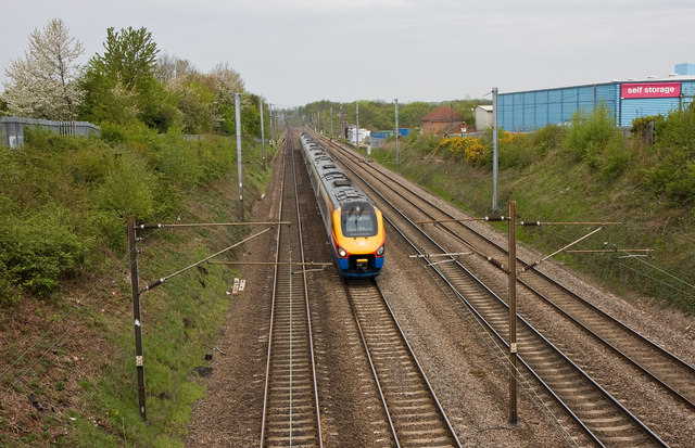
Image: © Martin Addison Taken: 29 Apr 2010
A fast lunchtime service for London approaches St. Albans at speed. On the right is a self storage unit on Ronsons Way. The view is taken from Sandridge Road looking north.
Images are licensed for reuse under creativecommons.org/licenses/by-sa/2.0
Image Location
Latitude
51.767316
Longitude
-0.322075