Bunnison Lane, Colston Bassett
Introduction
The photograph on this page of Bunnison Lane, Colston Bassett by Kate Jewell as part of the Geograph project.
The Geograph project started in 2005 with the aim of publishing, organising and preserving representative images for every square kilometre of Great Britain, Ireland and the Isle of Man.

There are currently over 7.5m images from over 14,400 individuals and you can help contribute to the project by visiting https://www.geograph.org.uk
Bunnison Lane, Colston Bassett
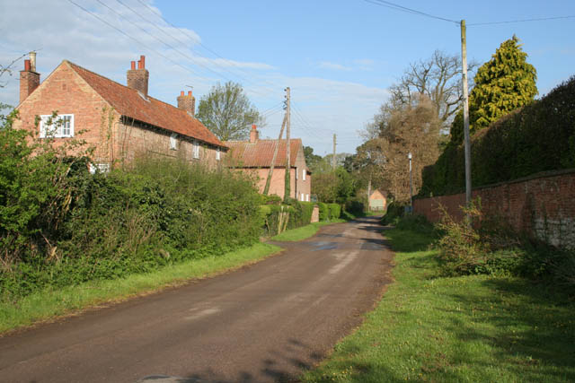
Image: © Kate Jewell Taken: 30 Apr 2010
Looking towards the centre of the village. The fine brick wall to the right bounds Manor House Farm, once the home of Colonel Francis Hacker, a staunch Parliamentarian in the Civil War of the mid 17th century. Colonel Hacker was directly involved supervised arrangements for the execution of King Charles I.
Images are licensed for reuse under creativecommons.org/licenses/by-sa/2.0
Image Location
Latitude
52.89134
Longitude
-0.960566