Hollin Hall Drive, Ilkley
Introduction
The photograph on this page of Hollin Hall Drive, Ilkley by Humphrey Bolton as part of the Geograph project.
The Geograph project started in 2005 with the aim of publishing, organising and preserving representative images for every square kilometre of Great Britain, Ireland and the Isle of Man.

There are currently over 7.5m images from over 14,400 individuals and you can help contribute to the project by visiting https://www.geograph.org.uk
Hollin Hall Drive, Ilkley
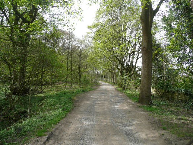
Image: © Humphrey Bolton Taken: 28 Apr 2010
This presumably led to Hollin Hall, the home of the Heber family in the 18C and 19C, but I couldn't find it the OS map so perhaps it has been demolished.
Images are licensed for reuse under creativecommons.org/licenses/by-sa/2.0
Image Location
Latitude
53.919935
Longitude
-1.840091