Rugby Avenue, Belfast
Introduction
The photograph on this page of Rugby Avenue, Belfast by Albert Bridge as part of the Geograph project.
The Geograph project started in 2005 with the aim of publishing, organising and preserving representative images for every square kilometre of Great Britain, Ireland and the Isle of Man.

There are currently over 7.5m images from over 14,400 individuals and you can help contribute to the project by visiting https://www.geograph.org.uk
Rugby Avenue, Belfast
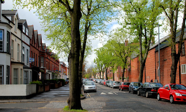
Image: © Albert Bridge Taken: 30 Apr 2010
Rugby Avenue runs from College Park Avenue Image to the Ormeau Road. It dates from the late 19th century was originally home to people in clerical etc employment. Now mainly houses of multiple occupation. This is the Ormeau Road end with the trees just in leaf. Continue to Image (September 2013).
Images are licensed for reuse under creativecommons.org/licenses/by-sa/2.0
Image Location
Latitude
54.584814
Longitude
-5.923746