Farmland between Dovendale and Maltby
Introduction
The photograph on this page of Farmland between Dovendale and Maltby by Kate Jewell as part of the Geograph project.
The Geograph project started in 2005 with the aim of publishing, organising and preserving representative images for every square kilometre of Great Britain, Ireland and the Isle of Man.

There are currently over 7.5m images from over 14,400 individuals and you can help contribute to the project by visiting https://www.geograph.org.uk
Farmland between Dovendale and Maltby
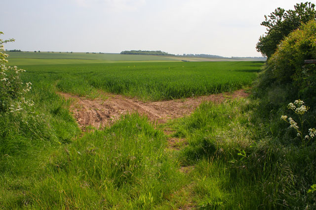
Image: © Kate Jewell Taken: 6 Jun 2006
Wide open Lincolnshire farmland. Stonepit Covert in Image on the centre horizon, Meredith's Covert in Image beyond and Patrick's Plantation at Cadwell Park in Image barely visible on the far right.
Images are licensed for reuse under creativecommons.org/licenses/by-sa/2.0
Image Location
Latitude
53.329764
Longitude
-0.039037