Deserted Farmhouse at Cowsley
Introduction
The photograph on this page of Deserted Farmhouse at Cowsley by Trevor Littlewood as part of the Geograph project.
The Geograph project started in 2005 with the aim of publishing, organising and preserving representative images for every square kilometre of Great Britain, Ireland and the Isle of Man.

There are currently over 7.5m images from over 14,400 individuals and you can help contribute to the project by visiting https://www.geograph.org.uk
Deserted Farmhouse at Cowsley
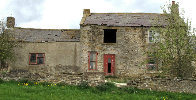
Image: © Trevor Littlewood Taken: 30 Apr 2010
This abandoned house lies on a minor road on the N. slope of the valley of the Hedleyhope Burn.
Images are licensed for reuse under creativecommons.org/licenses/by-sa/2.0
Image Location
Latitude
54.773521
Longitude
-1.775502