Minge Lane, Upton
Introduction
The photograph on this page of Minge Lane, Upton by Bob Embleton as part of the Geograph project.
The Geograph project started in 2005 with the aim of publishing, organising and preserving representative images for every square kilometre of Great Britain, Ireland and the Isle of Man.

There are currently over 7.5m images from over 14,400 individuals and you can help contribute to the project by visiting https://www.geograph.org.uk
Minge Lane, Upton
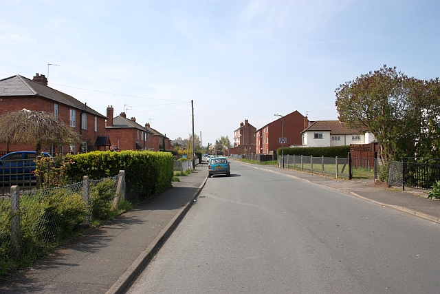
Image: © Bob Embleton Taken: 22 Apr 2010
Looking west from the junction with Laburnum Walk. 1920s council houses on the left with more modern social housing on the right.
Images are licensed for reuse under creativecommons.org/licenses/by-sa/2.0
Image Location
Latitude
52.059532
Longitude
-2.215527